


SONDOVIEW
GESTÃO GEOESPACIAL
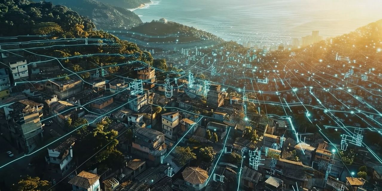
Plataforma geoespacial completa para integrar, visualizar e analisar informações de ativos em um único ambiente digital.
REQUEST A DEMO
Centralization of strategic project data

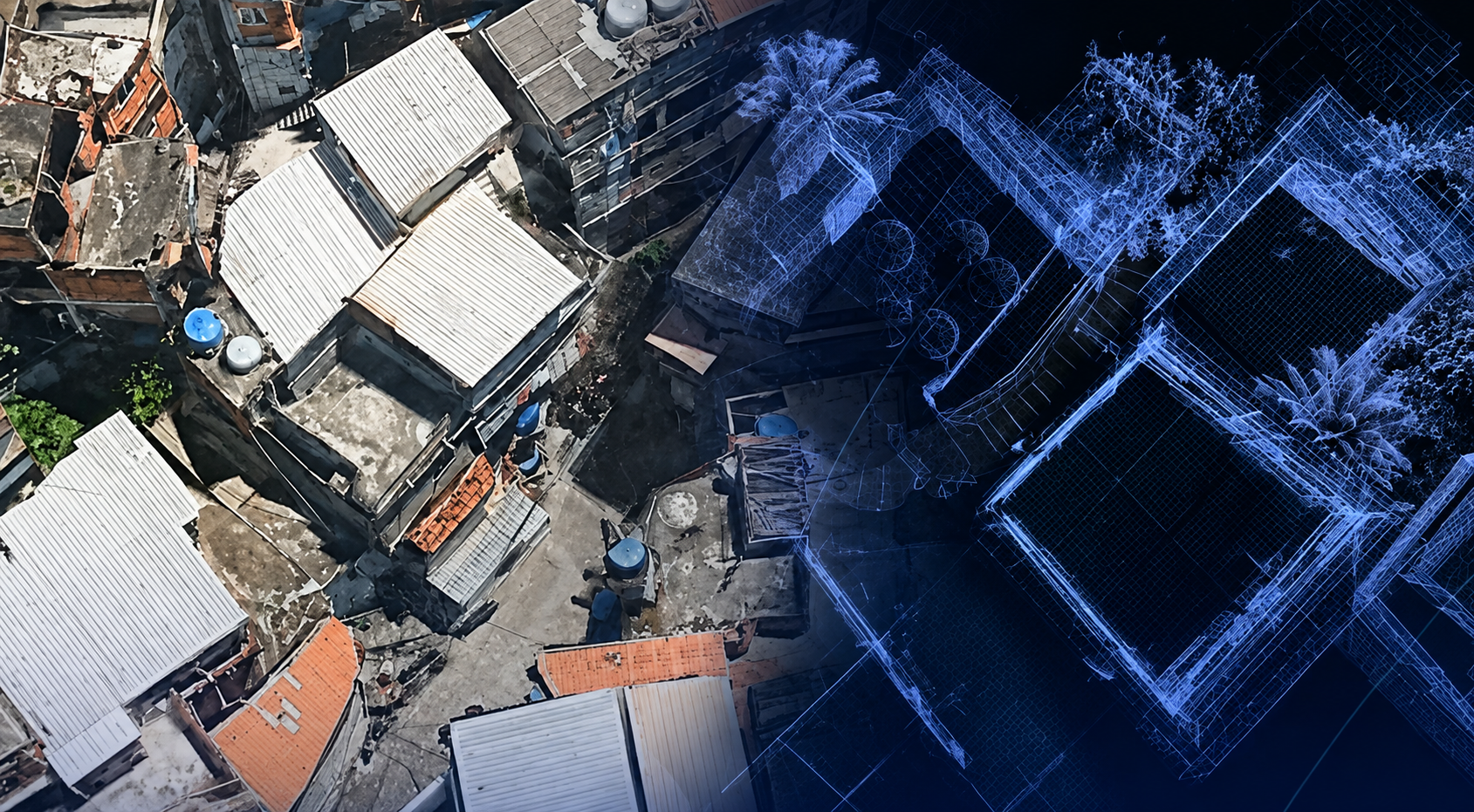
Interactive geospatial visualization (WebGIS)

Integrated monitoring of physical and financial progress

Integration of visual records of the construction work

Simplified access to documents and projects

Accessible web platform without installation
FULL VIEW OF YOUR HIGHWAY
Sondoview centralizes all highway information in an interactive geospatial environment, enabling faster, more assertive decision-making based on reliable data.
Interactive map
Visualize e explore informações georreferenciadas de forma clara, dinâmica e intuitiva.
Integrated data
Combine different data sources into a single environment.
Reliable information
Accurate and up-to-date data for safer decisions.
Features that make your management easier
Customizable layers
Enable and combine information layers as needed.
Measurements and consultations
Measure distances, areas and get information instantly.
Advanced filters
Find what you need with smart and personalized filters.
Data export
Generate reports and export data in different formats.
Alerts and notifications
Receive alerts about important events and conditions.
Collaborative work
Share information and work together securely.
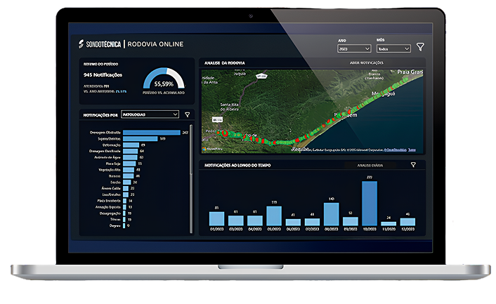
Access anywhere, anytime
Responsive and cloud-available platform. Access your information from wherever you are, with security and performance.
INTELLIGENCE THAT BUILD THE FUTURE
Fewer uncertainties, more control, more efficiency. AI empowers people, processes, and technologies to deliver extraordinary results.
TALK TO TECHLABSONDOTÉCNICA ON SOCIAL MEDIA
Stay up to date with everything happening at Sondotécnica